brookes map
Community Appraisal
This item was appraised by the InstAppraisal community. Check the comments below for expert opinions and valuations.
Want an AI appraisal? Submit yours nowItem Details
This is a Brookes Travelling Coupanion printed on 27th Jan 1812 by William Danton. It is a map of England and Wales printed on paper put on a cloth backing so can be folded.
Fair
Have Something to Appraise?
Upload photos of your antique or collectible and get an AI-powered valuation in under a minute.
Get Your Appraisal →Comparable Items & Values
See how comparable items are valued
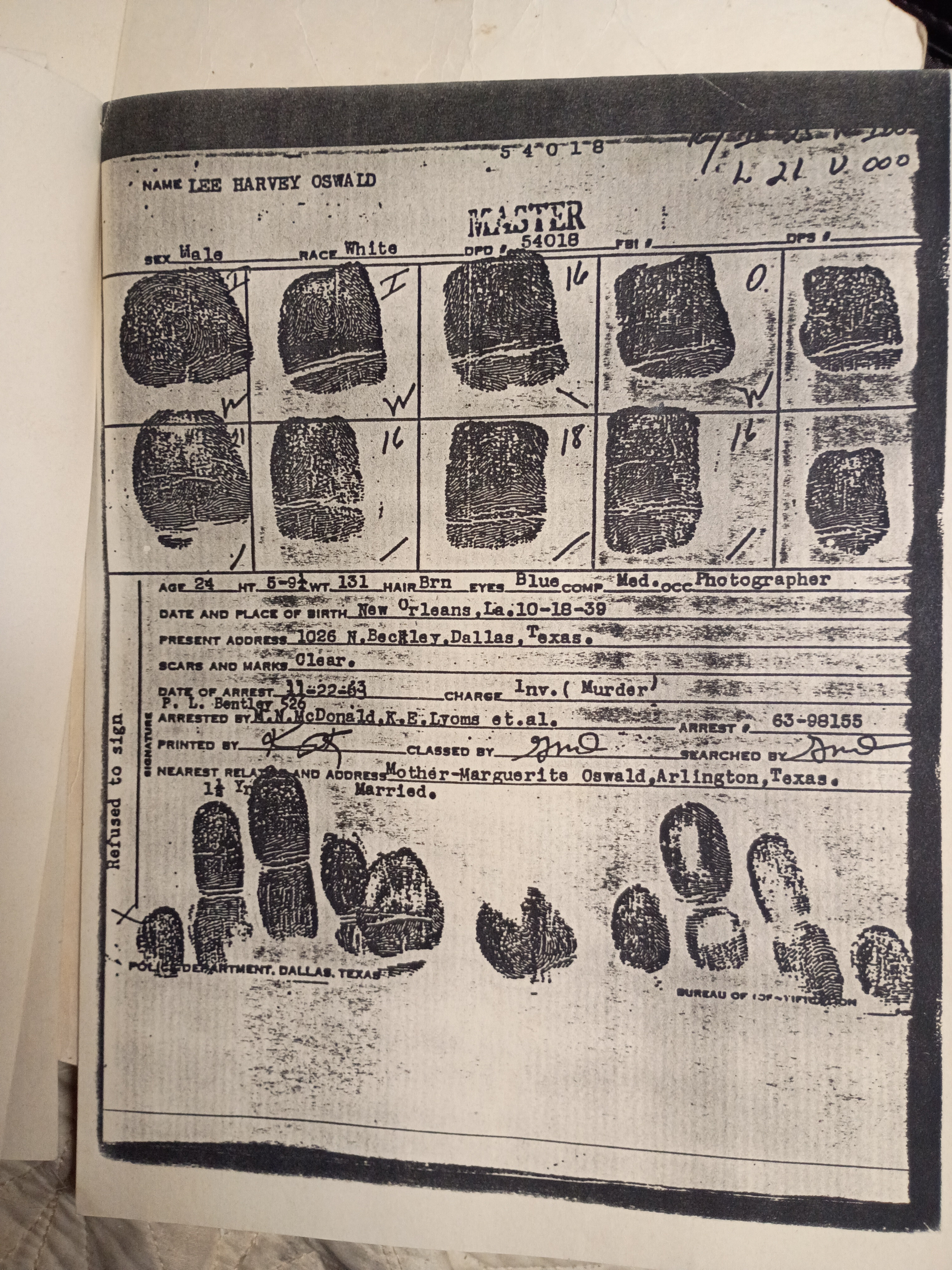
Lee Harvey Oswald's Original Documents
$575 – $1,750
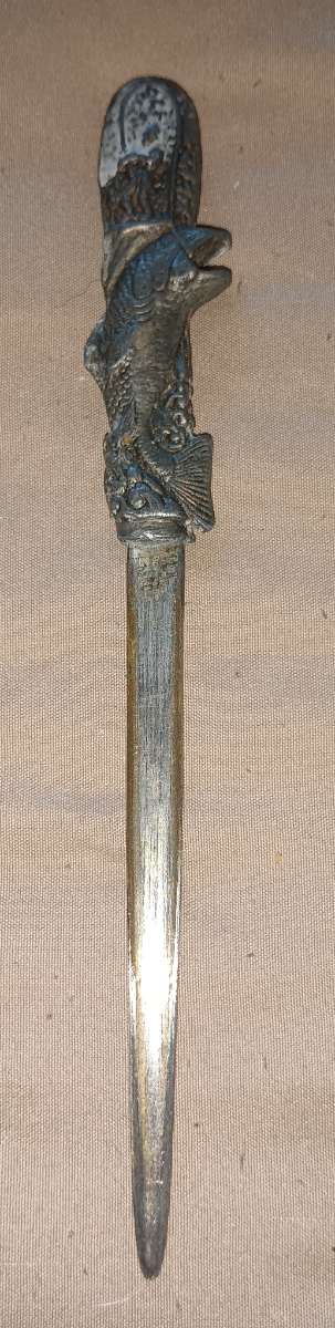
Fish-Themed Letter Opener
$35 – $85
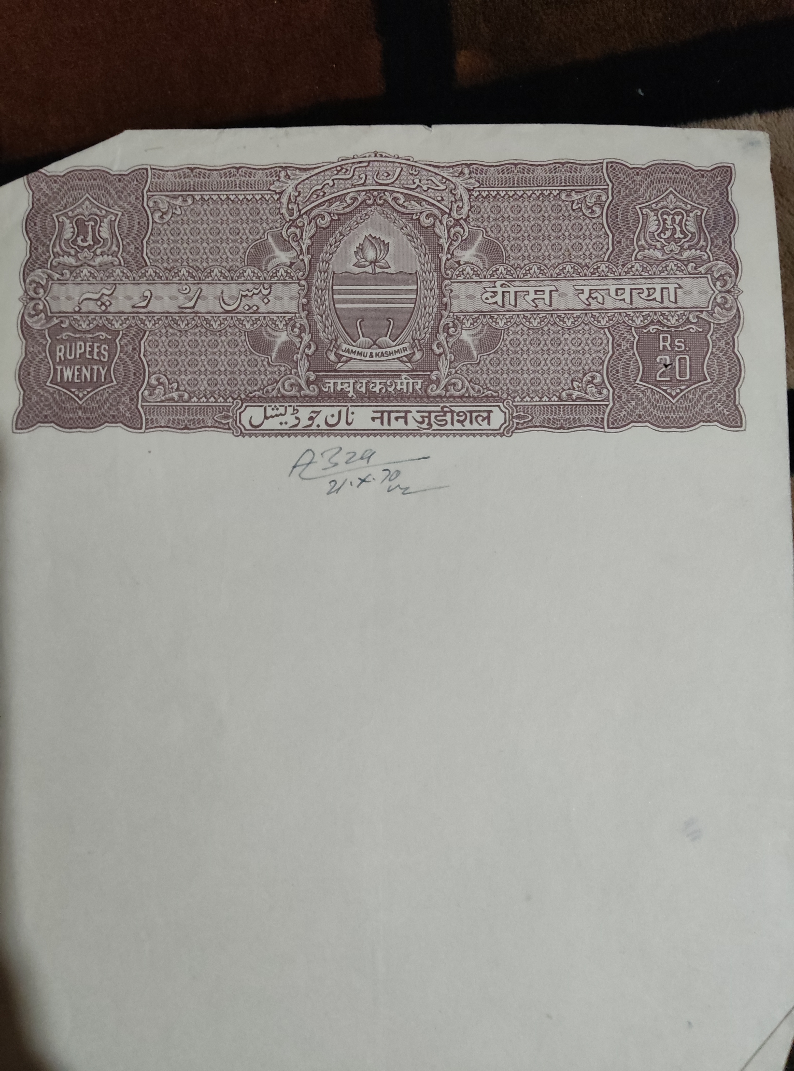
Old jammu and kashmir blank property paper
$20 – $50
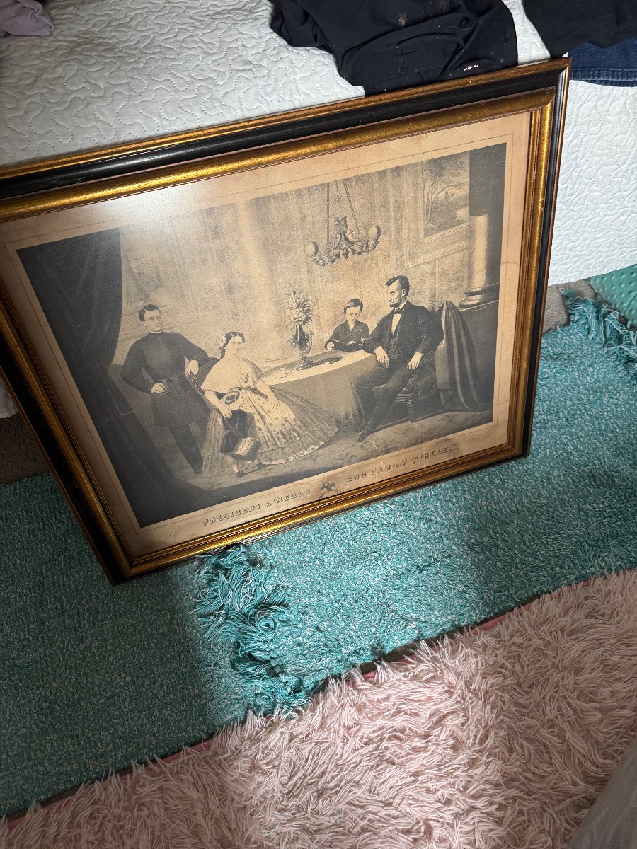
Historical Prints Depicting Civil War Figures by Currier & Ives (possibly)
$150 – $250
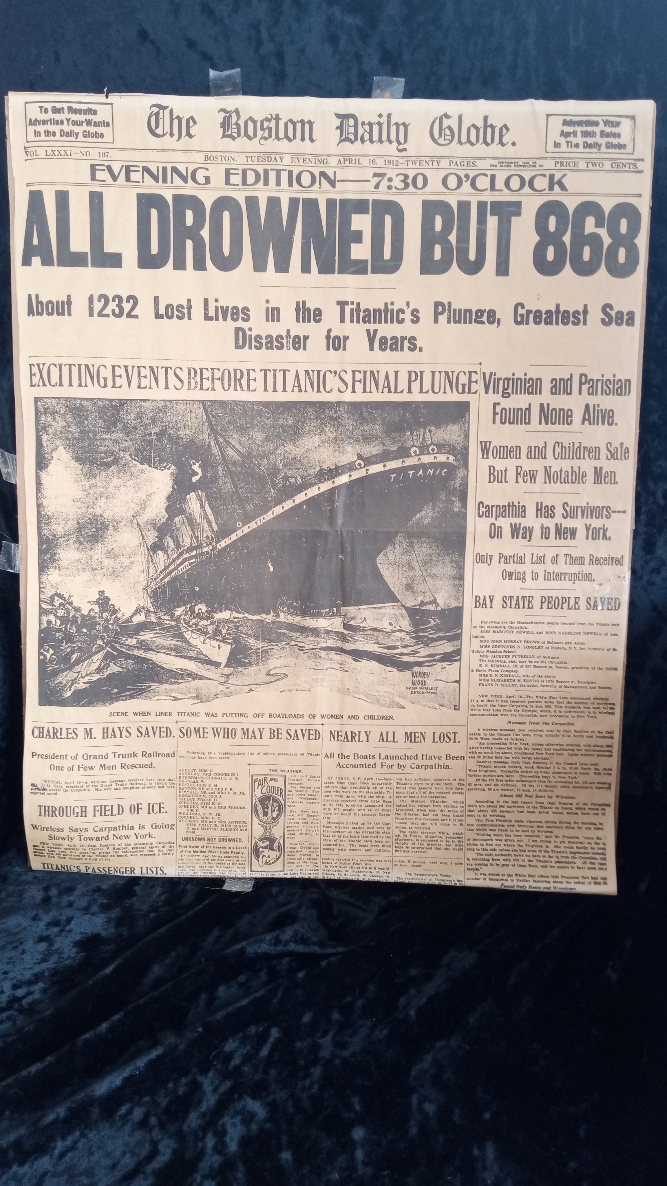
Boston Globe original edition of the Titanic sinking
$800 – $1,200
Mid-20th Century Newspaper Clippings by Various Publishers
$35 – $85
Comments
No comments yet. Be the first to share your thoughts!