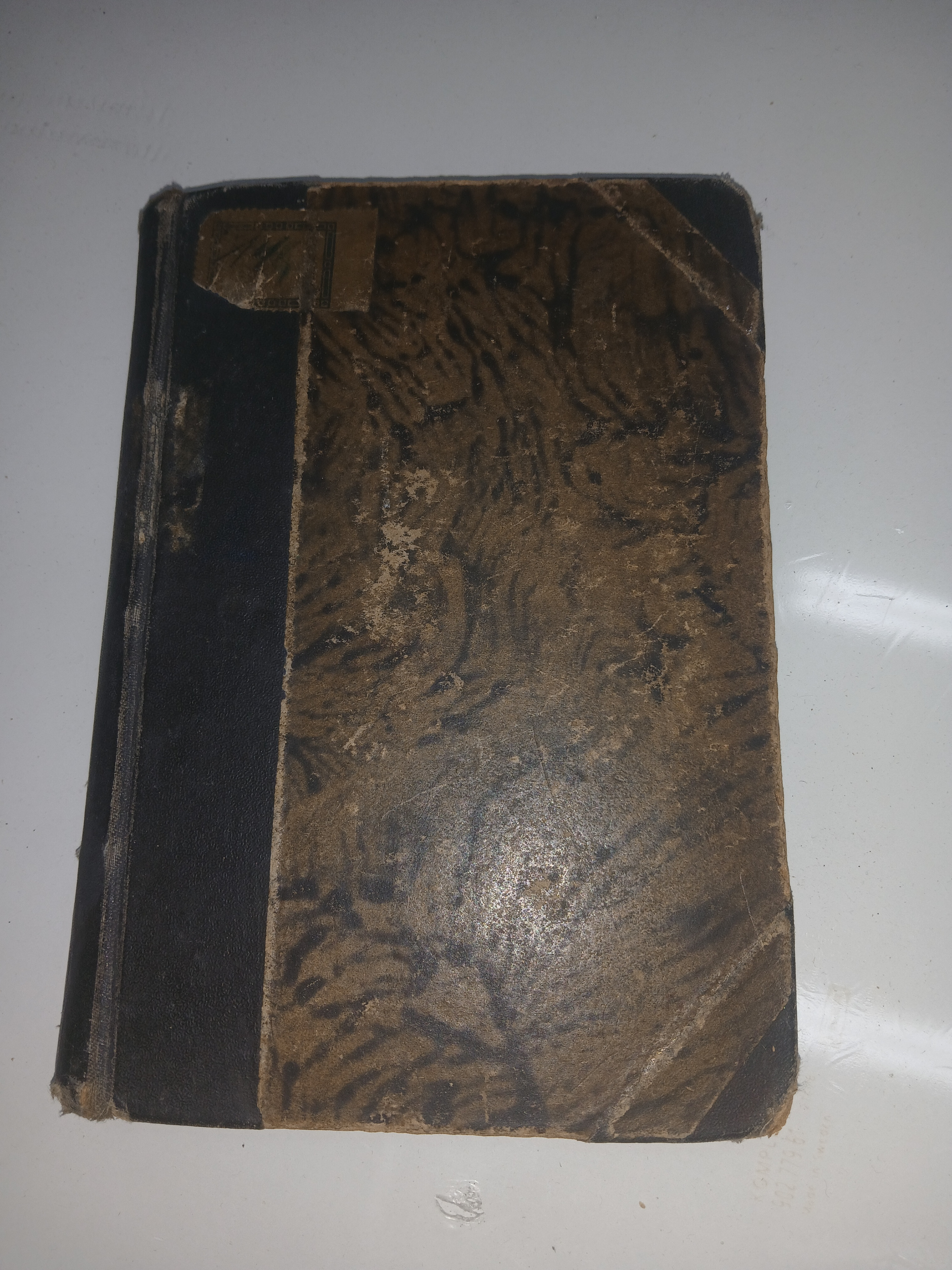
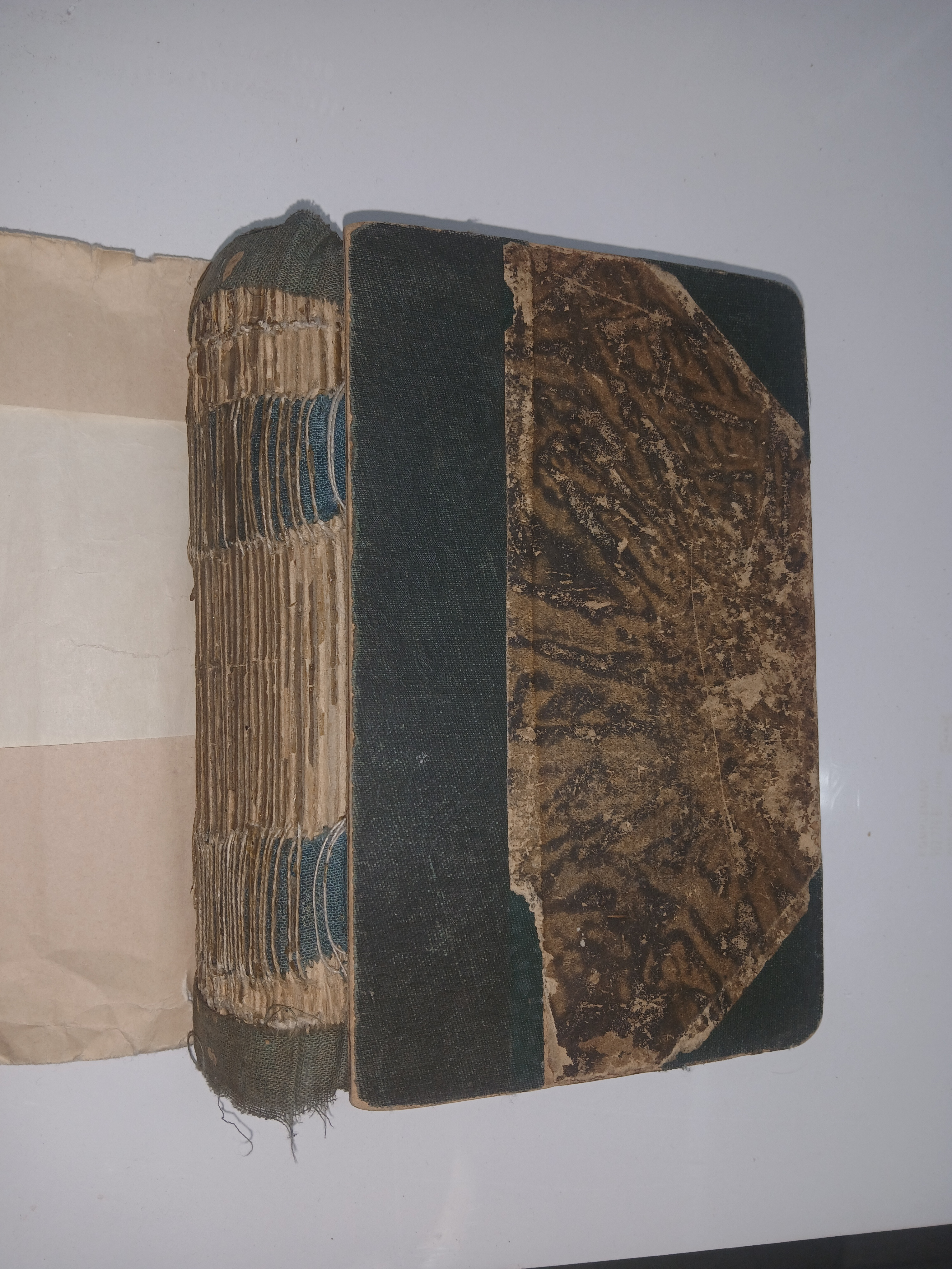
Standard Atlas Plat Book Map of Lasalle county illinois 1906

Community Appraisal
This item was appraised by the InstAppraisal community. Check the comments below for expert opinions and valuations.
Want an AI appraisal? Submit yours nowItem Details
1906 Standard Atlas of Lasalle County, Illinois. Circa. 1906. detailed maps of each township in the county which show who owned each farm and house at. also included is a history of the world in the back and pictures of prominent people from Lasalle County, IL.
Community Insights
Know something about this item? Collectors and experts share tips, identification help, and real-world experience here.
Have Something to Appraise?
Upload photos of your antique or collectible and get an AI-powered analysis in under a minute.
Get Your Appraisal →Comparable Items & Values
See how comparable items are valued
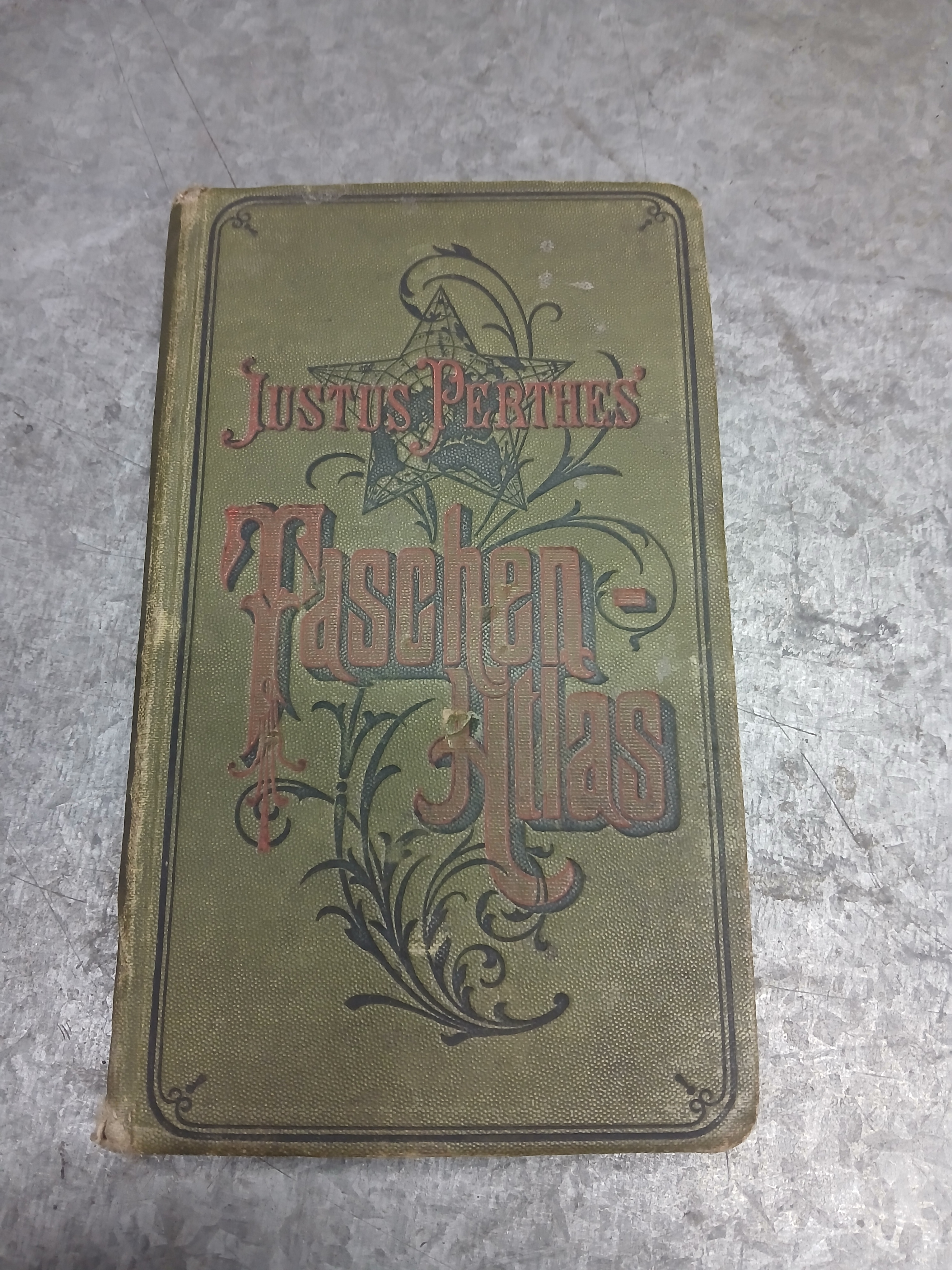
Ksiażka atlas kieszonkowy z 1912r
$50–$200
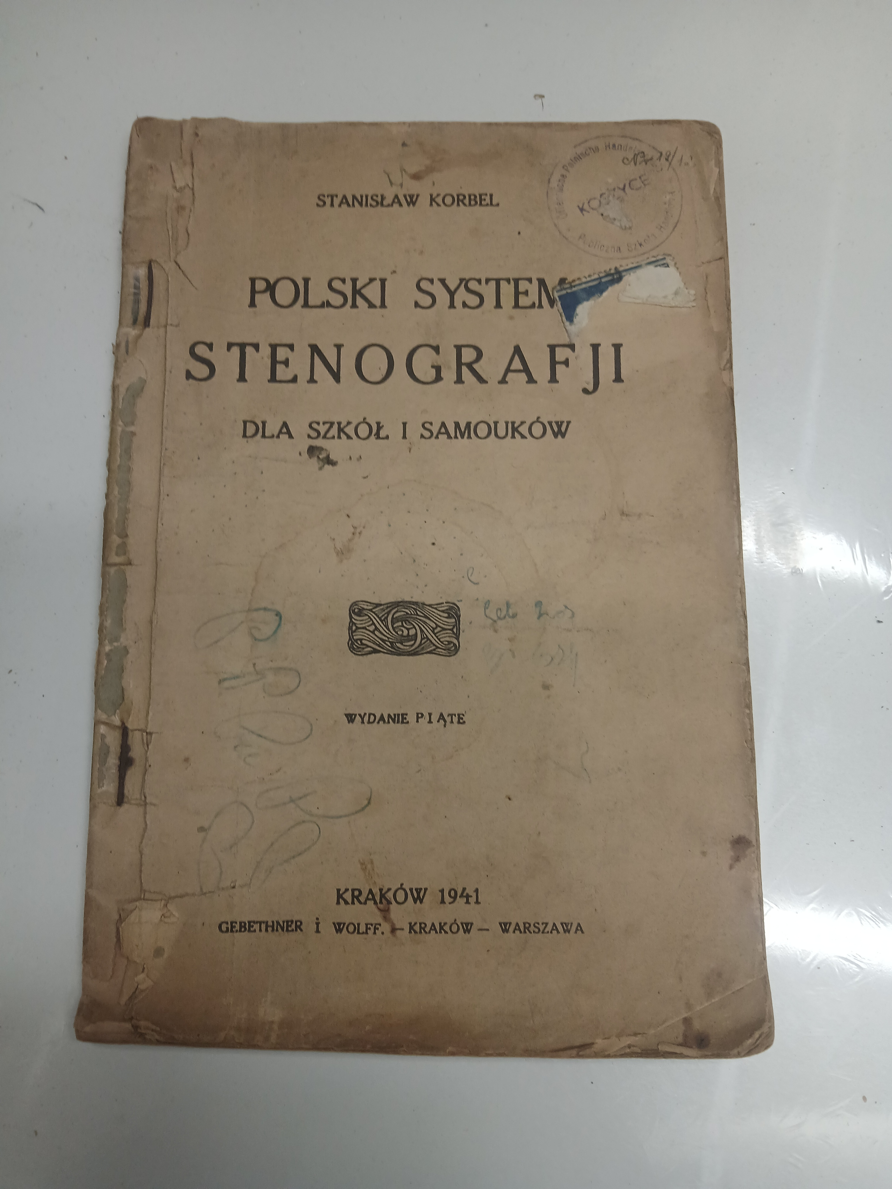
Ksiazka POLSKI SYSTEM STENOGRAFJI DLA SZKÓŁ I SAMOUKÓW 1941R
Under $50
Książka KSIĘGA Z SAN MICHELE 1933R
$50–$200
Ksiażka kształcenie woli stan słaby moze brakowac stron
$50–$200
Książka Bolesław Prus GRZECHY DZIECINSTWA , PRZEKLĘTE SZCZĘSCIE
$50–$200
Ksiazka QUO VADIS 1924r stan slaby
Under $50
Comments
No comments yet. Be the first to share your thoughts!
InstAppraisal connects collectors but is not a marketplace. All transactions are between users at their own risk.