
Click any image to enlarge
AI Appraisal
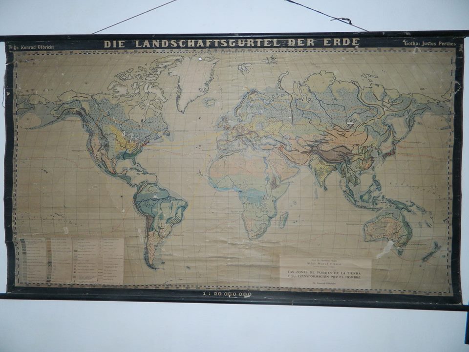
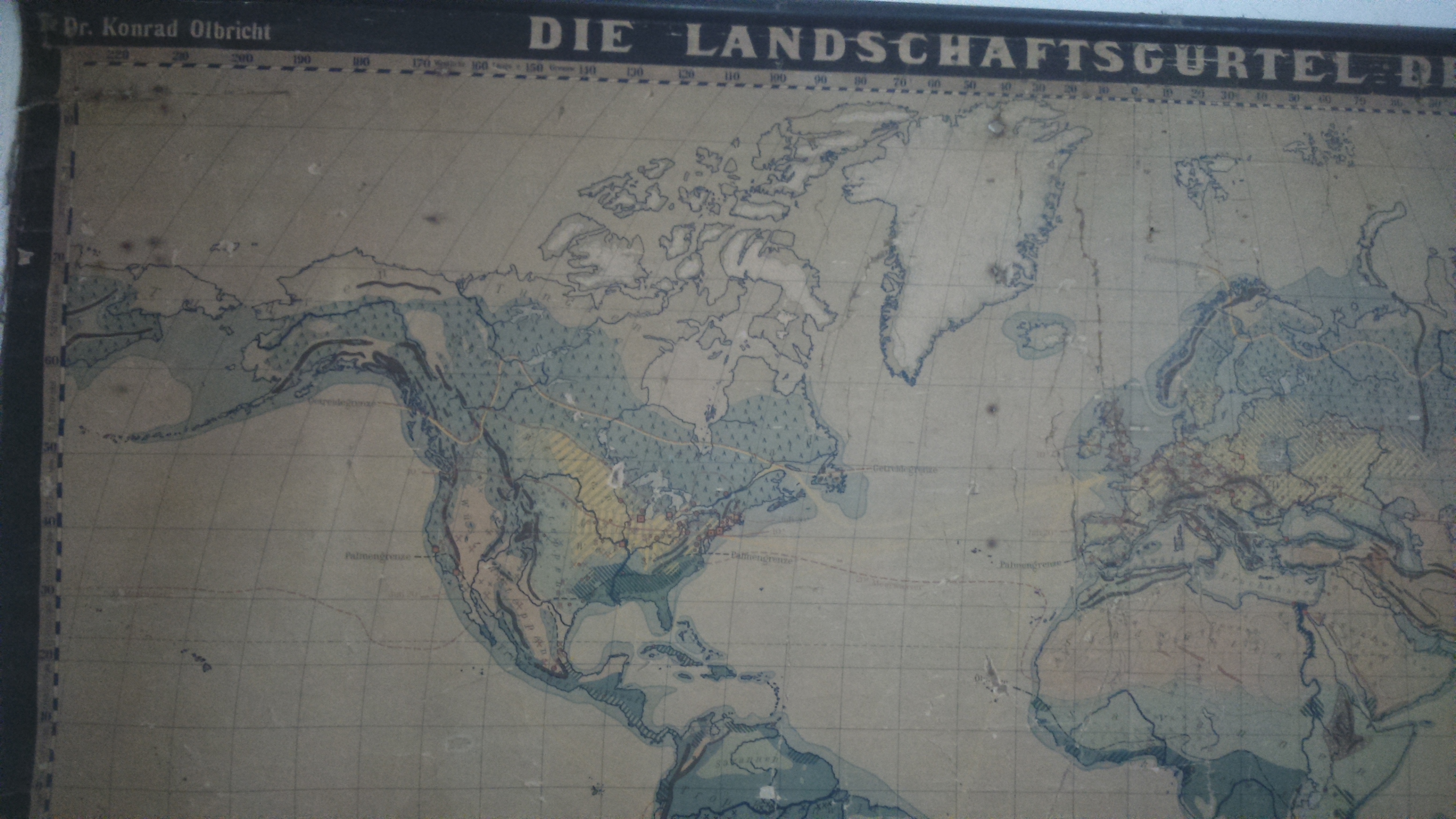
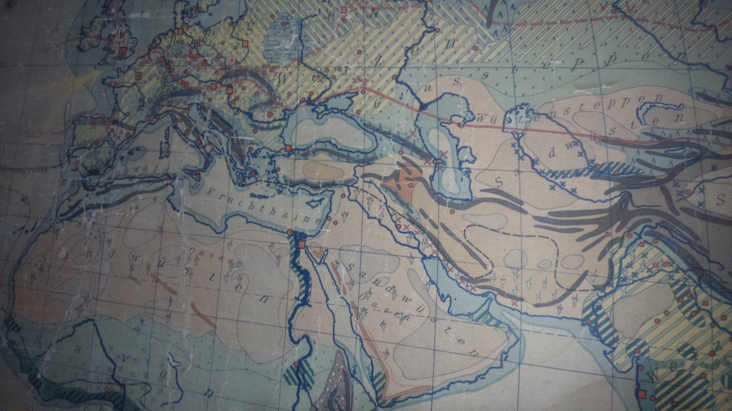
Description
An old map that was going to be discarded from an institute. Texts in german. width 211.50 cm, height 121 cm
Publisher: Justus Perthes
Cartographer: Hermann Haack.
my guess is that it is from around 1930-1940. other publications by dr Konrad Olbricht are in this range or older.
The map legend have been replaced by ones in spanish at some point.
I found a single one like it in a finnish museum site, for more info: https://www.finna.fi/Record/musketti_tmk.M20:TMM21298:19#image
Category
Maps, Charts, and Nautical
Distinguishing marks
Hermann Haack
Konrad Olbricht
Konrad Olbricht
Condition
Fair
Size and dimensions of this item
width 211.50 cm, height 121 cm
⚠️ You have 1 free appraisal left today
Upgrade for 15-30/day →
Want more from your appraisals?
View Plans →
Upgrade for PDF reports, more daily appraisals, and ad-free experience.