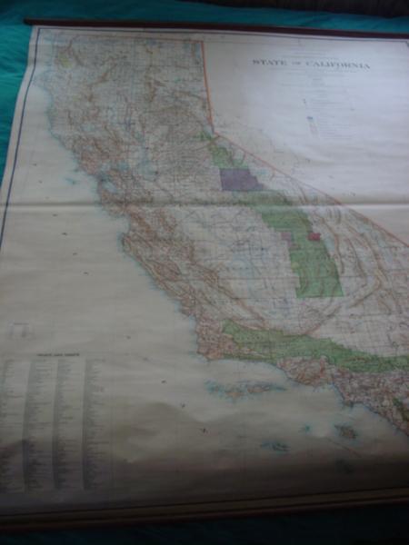
Original U.S. Government General Land Office Wall map of California in 1900 showing land grants and Indian territory.
Community Appraisal
This item was appraised by the InstAppraisal community. Check the comments below for expert opinions and valuations.
Want an AI appraisal? Submit yours nowItem Details
This is a very large wall map of California in 1900 showing public land grants and Indian Territory. This is an official map made by the U.S. government in Wasington Dc, General Land Office. It is in excellent condition with very little browning, a few tiny stains on the top, no tears or mold or any other discoloration . It is very detailed, showing California as it was in 1900. Every creek, every hill, state parks, and even trails. It is apparent that the men who created this map put in a great amount of time and effort.
Good
Have Something to Appraise?
Upload photos of your antique or collectible and get an AI-powered valuation in under a minute.
Get Your Appraisal →Comparable Items & Values
See how comparable items are valued
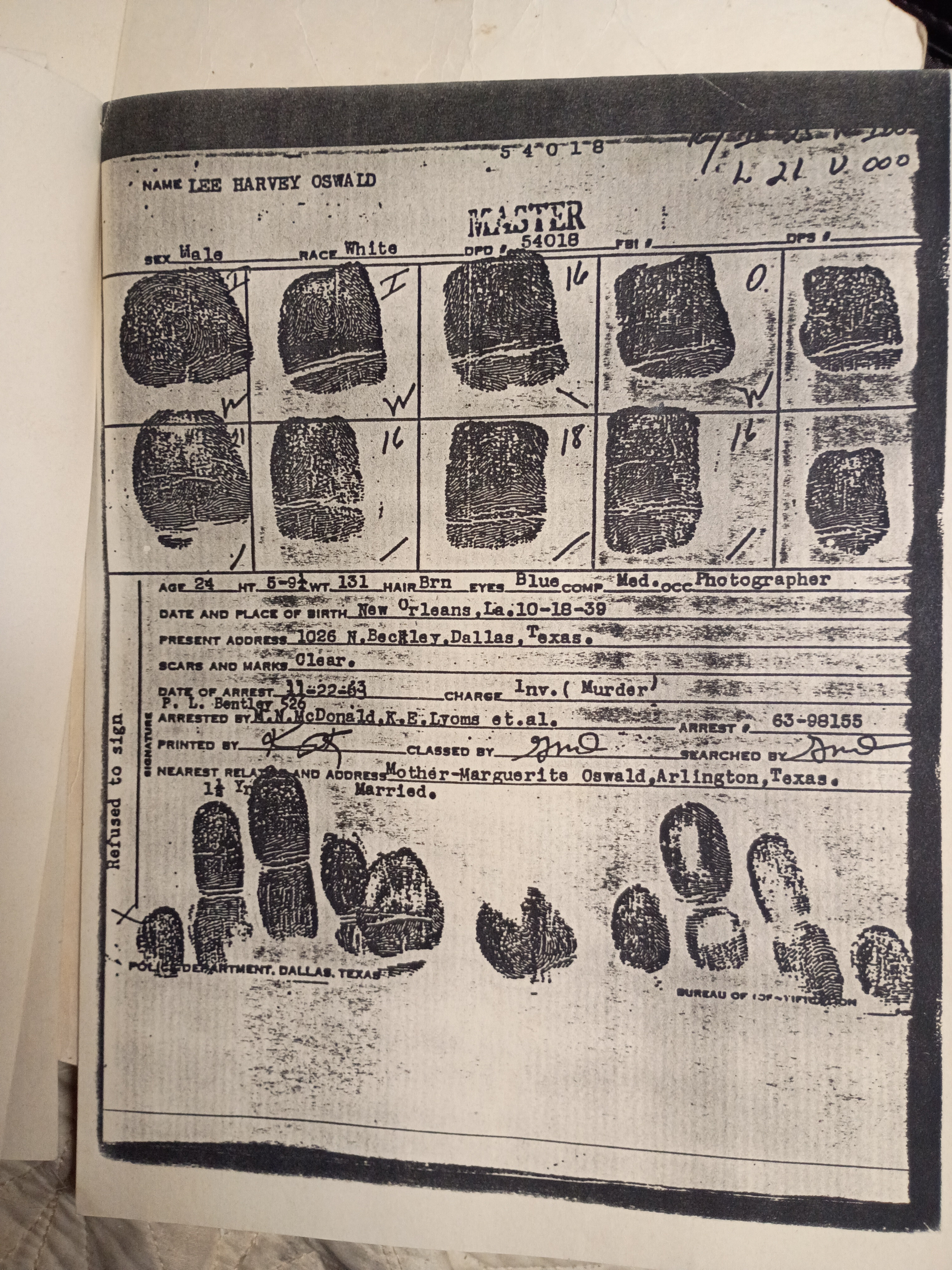
Lee Harvey Oswald's Original Documents
$575 – $1,750
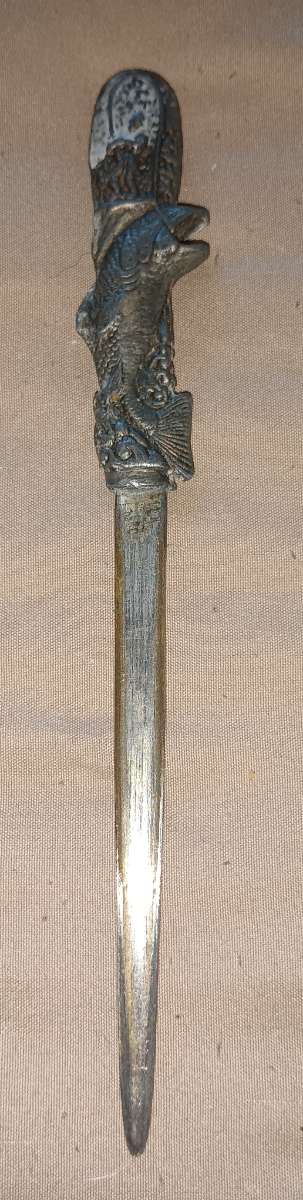
Fish-Themed Letter Opener
$35 – $85
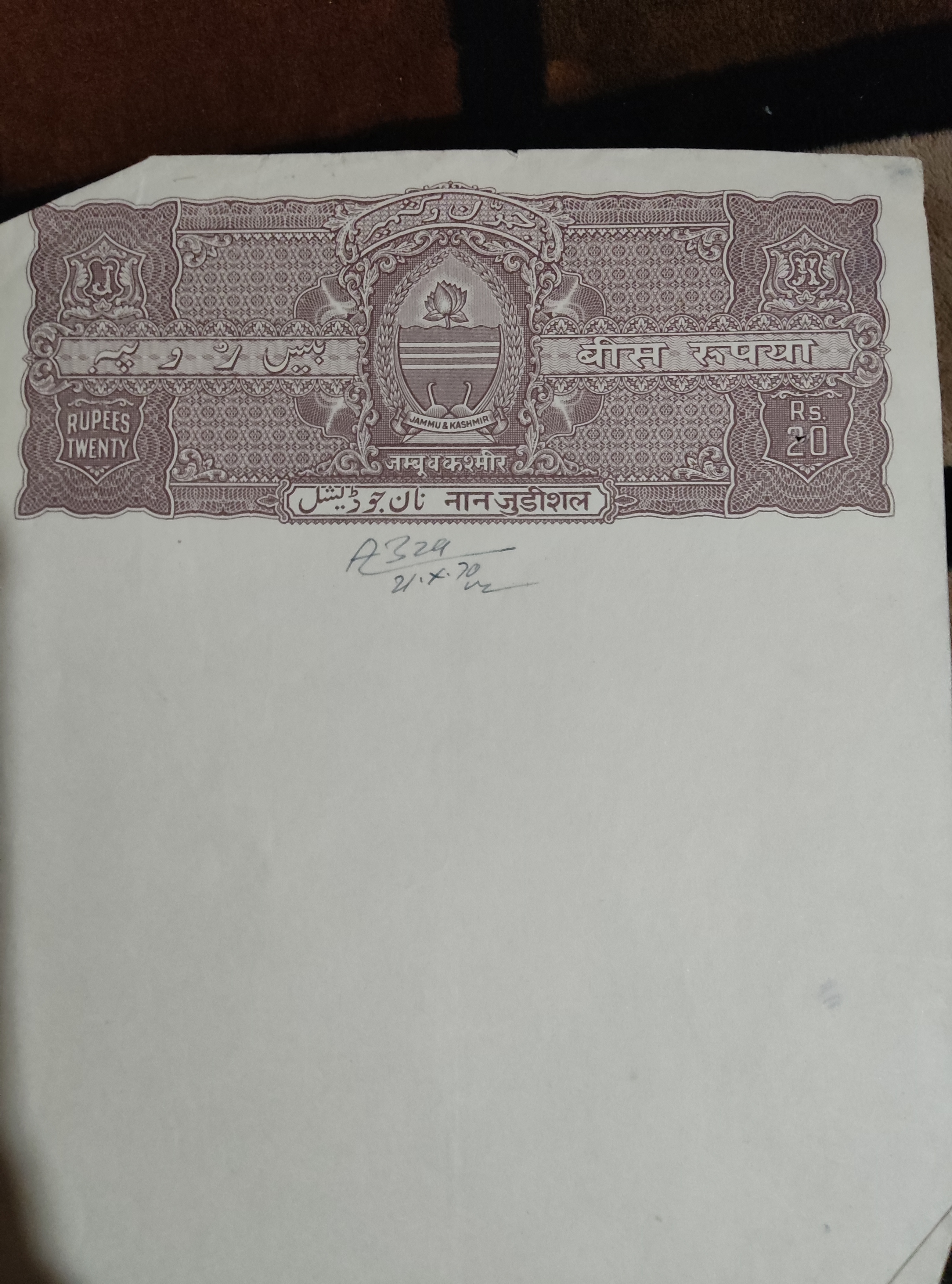
Old jammu and kashmir blank property paper
$20 – $50
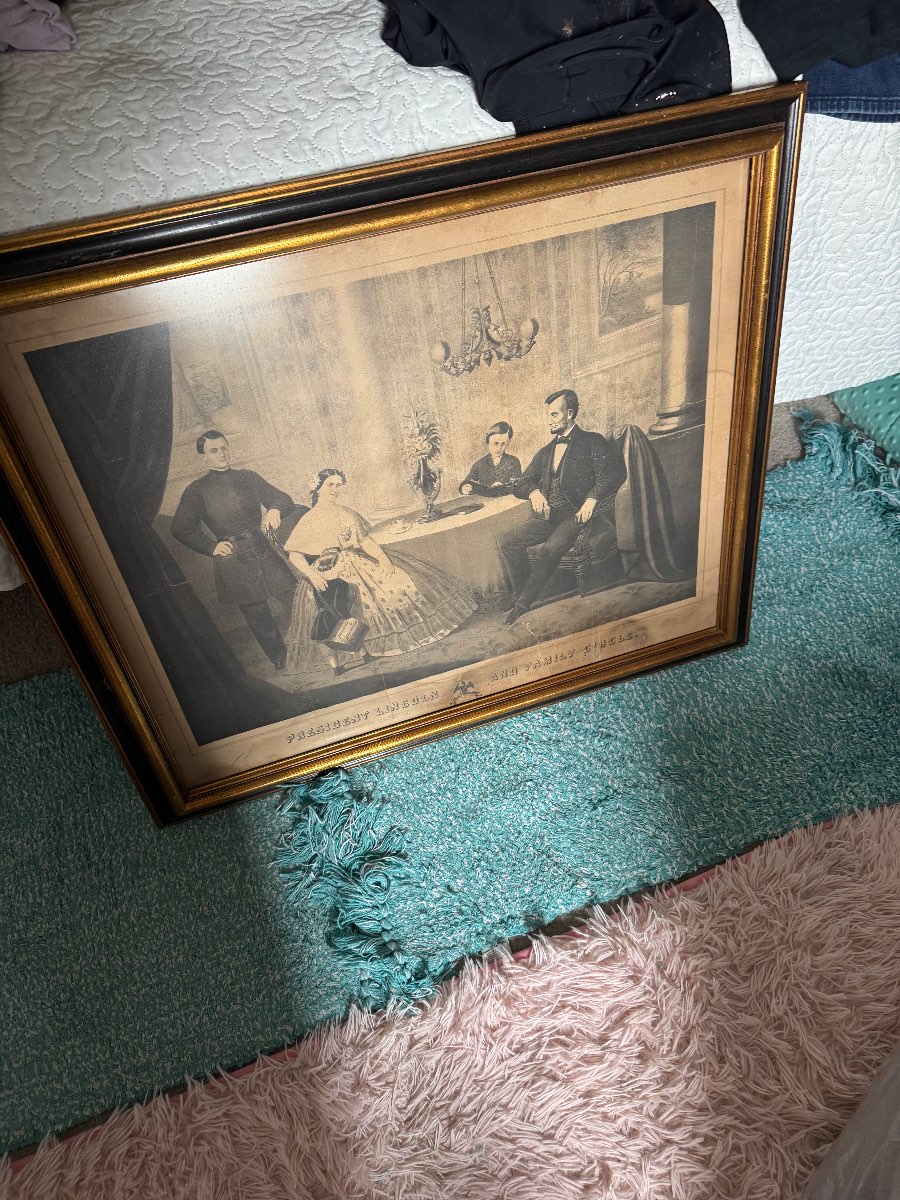
Historical Prints Depicting Civil War Figures by Currier & Ives (possibly)
$150 – $250
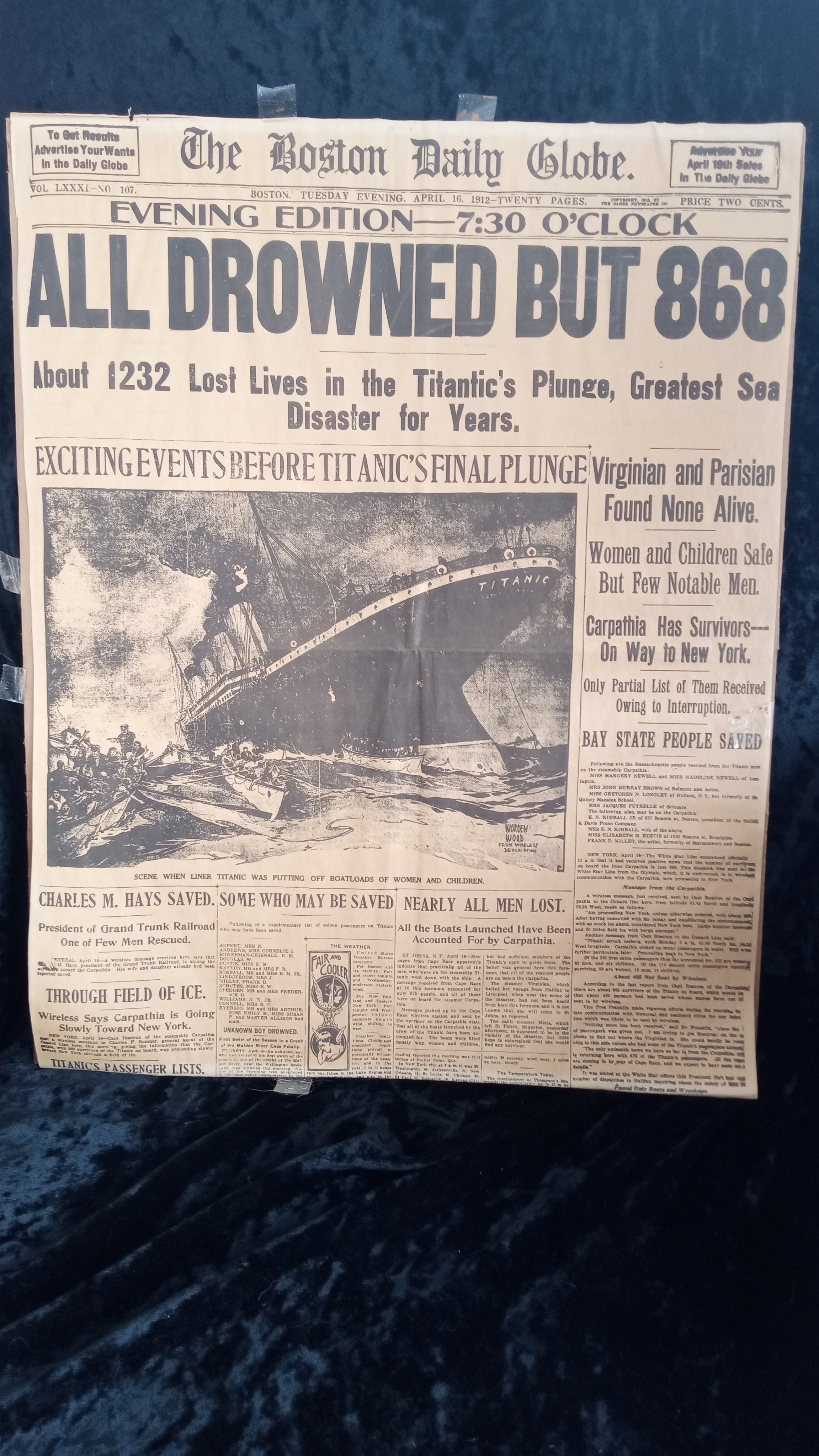
Boston Globe original edition of the Titanic sinking
$800 – $1,200
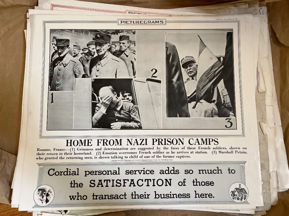
Mid-20th Century Newspaper Clippings by Various Publishers
$35 – $85
Comments
No comments yet. Be the first to share your thoughts!